Maps of Honduras
Leer en EspañolMaps of Honduras – Official map of Honduras, Political and Administrative Division Map, Map of Ethnic Groups, Map of Protected Areas.
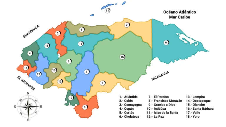
The Map of Honduras
The first general map of the Republic of Honduras at a scale of 1:500,000 was prepared by Dr. Jesús Aguilar Paz, approved by the Government through agreement number 689 of January 23, 1930.
A second improved and updated edition appeared in 1954, this geographical map filled for a long time an important gap in the cartographic information of the country, since there were no government agencies that satisfied such a need.
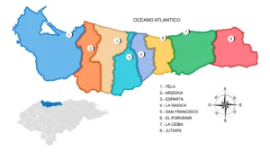 Map of the Department of Atlantida
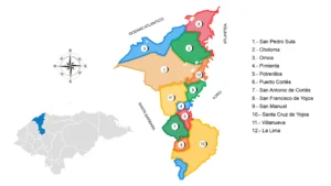 Map of the Department of Cortés
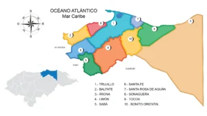 Map of the Department of Colon
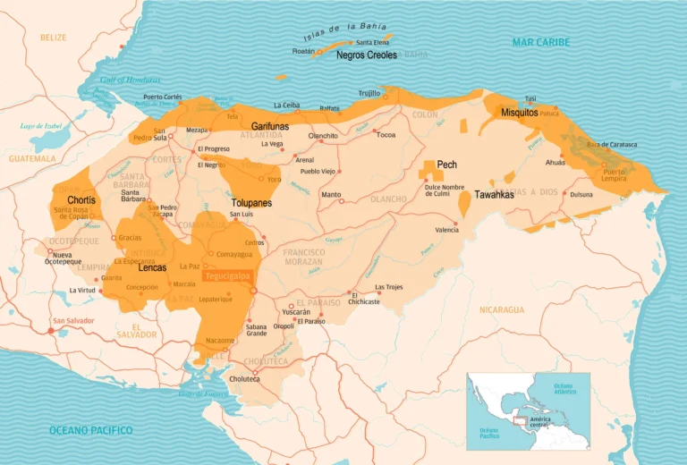
Map of Ethnic Groups and Indigenous Groups in Honduras
Geographical distribution of the different ethnic groups or indigenous groups throughout the Honduran territory.
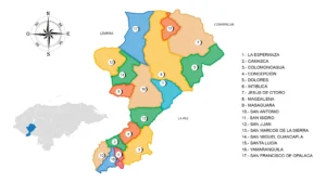
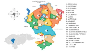 Map of the Department of Comayagua
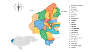 Map of the Department Copán
 Map of the Department of Gracias a Dios
Map of Customs of Honduras
Honduras has 17 customs offices, according to the Revenue Administration Service (SAR), of which 8 are land-based, 2 are air-based and 8 are maritime, including Puerto Cortes, a certified port.

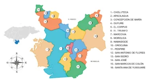 Map of the Department of Choluteca
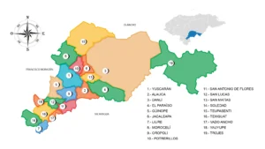 Map of the Department of El Paraíso
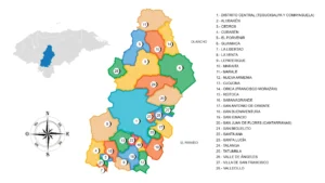 Map of the Department of Francisco Morazán
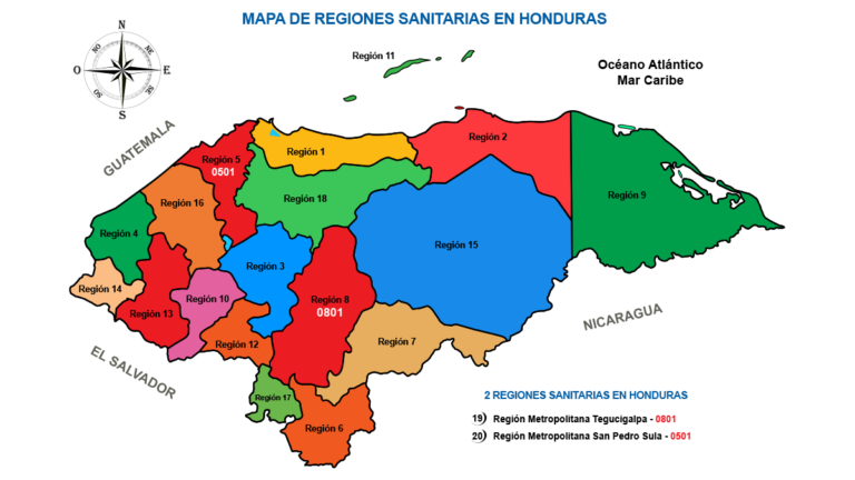
Health Regions of Honduras (Map)
Map of the 20 Health Regions of Honduras Honduras; 18 of them departmental and 2 Metropolitan.
 Map of the Department of Intibucá
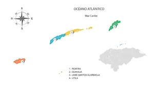 Map of the Department of the Bay Islands
 Map of the Department of La Paz
 Map of the Department of Lempira
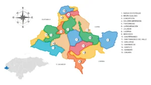 Map of the Department of Ocotepeque
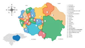 Map of the Department of Olancho
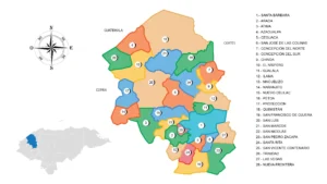 Map of the Department of Santa Bárbara
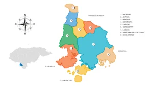 Map of the Department of Valle
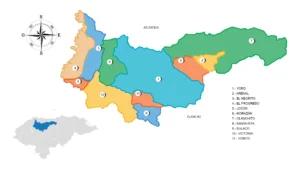 Map of the Department of Yoro